The Hidden Pulse of the Earth
Deep beneath the dusty red earth of the Australian Outback and the dense boreal forests of Canada, a silent revolution is underway. For centuries, humanity has scratched at the surface of our planet, relying on geological intuition and brute-force drilling to find the resources that power our civilization. It is a game of chance, expensive and invasive. But what if we could see through the rock as clearly as we see through glass? Enter Quantum Gravity Gradiometry (QGG), a technology that promises to make the ground beneath our feet transparent.
Traditional mineral exploration is a blunt instrument. Geologists look for magnetic anomalies or seismic echoes, but these methods are often plagued by noise and ambiguity. To be certain, you have to drill. This means disturbing vast tracts of land, disrupting ecosystems, and spending millions on boreholes that frequently come up dry. The industry calls it “cover”—the layers of soil and rock that hide ore bodies. Quantum sensors are about to blow that cover wide open.
How Cold Atoms Map Gravity
At the heart of this technology lies a state of matter known as a Bose-Einstein Condensate (BEC). By cooling rubidium atoms to near absolute zero using lasers, scientists can force them to overlap and behave as a single quantum wave. This isn’t science fiction; it’s the same principle used in the world’s most precise atomic clocks.
In a quantum gravity gradiometer, this atom cloud is split into two paths at different heights using a technique called atom interferometry. Because gravity varies slightly with distance from the Earth’s center—the gradient—the two paths experience a minutely different gravitational pull. When the waves are recombined, they create an interference pattern that reveals the gravity gradient with exquisite precision.
Crucially, these sensors measure the difference in gravity between two points rather than absolute gravity. This differential measurement cancels out external noise—the rumble of a passing truck, the swaying of the device in the wind, or even the tidal pull of the moon. What remains is a pure signal of density anomalies underground. A dense ore body pulls harder; a hollow tunnel or aquifer pulls less.
From Lab Bench to Muddy Boots
The transition from delicate university experiments to rugged field tools has been rapid. Startups and research institutes are already deploying these sensors in real-world conditions. In the UK, the Quantum Technology Hub has demonstrated sensors capable of detecting underground tunnels and pipes—a potential lifesaver for civil engineers in sinkhole-prone areas.
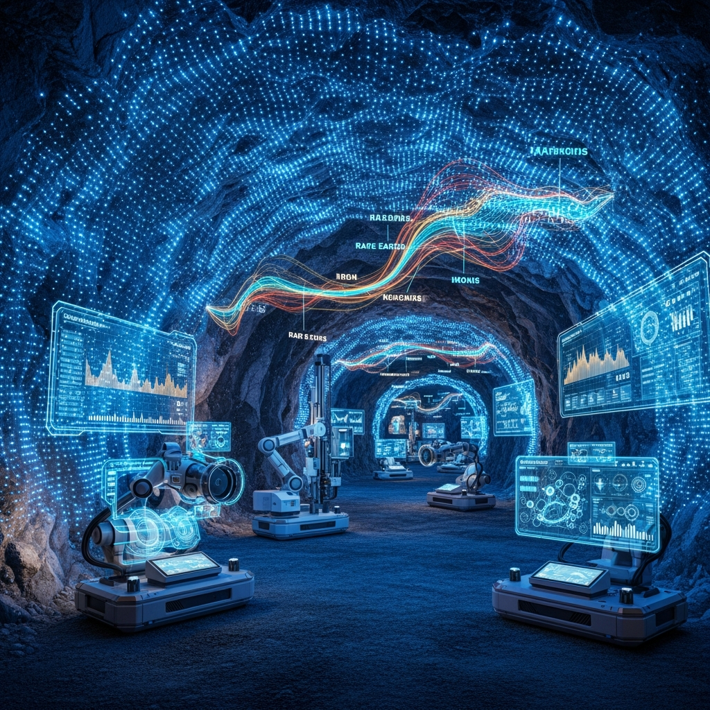
But the biggest prize is in mining. The transition to renewable energy requires a massive influx of copper, lithium, cobalt, and rare earth elements. Finding these deposits is getting harder as the easy, surface-level veins are exhausted. We need to look deeper. QGG allows geologists to map density variations hundreds of meters underground without drilling a single hole. It’s like having an MRI for the Earth.
The Environmental Dividend
This precision isn’t just about profit; it’s about sustainability. “Blind” drilling is environmentally destructive. By pinpointing resources with high accuracy, mining companies can reduce their exploration footprint significantly. We can identify the needle without burning the haystack.
Furthermore, the technology has applications beyond extraction. It can monitor magma chambers in volcanoes, track groundwater depletion in aquifers, and even help archaeologists discover buried structures without excavation. It is a new way of seeing, a new sense for a species that has always been limited to the surface.
As these sensors shrink from room-sized contraptions to devices that can fit on a drone or in a backpack, we are entering an era of “quantum civil engineering.” The invisible world beneath us is coming into focus, and with it, a smarter, less invasive way to interact with our planet.
Leave a Reply